


 Городской электротранспорт
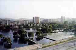
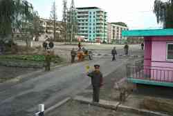
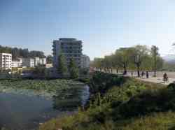
Комментарии к фотографиям из города Анджу (троллейбус)
Фильтр
Ссылка
jiachen ·  Сидней · 26.03.2021 12:46 MSK
Сидней · 26.03.2021 12:46 MSK
Фото: 408 · Локальный редактор — КНДР, Китай, Сидней / Перевод сайта (CN)
Анджу — Троллейбусные линии и инфраструктура
 Сан-Хосе
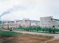
Мобильная версия
Тёмная тема
© Администрация ТрансФото и авторы материалов, 2002—2024
Использование фотографий и иных материалов, опубликованных на сайте, допускается только с разрешения их авторов.
Использование фотографий и иных материалов, опубликованных на сайте, допускается только с разрешения их авторов.