


 Transportul electric urban
Maps and Plans
Boston
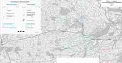 |
Aprilie 2013 y. |
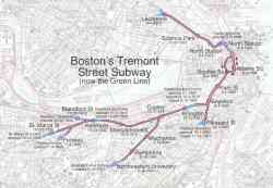 |
Схема первой подземки США с датами открытия. Public Domain. Источник: http://en.wikipedia.org/wiki/File:Tremont_Street_Subway.jpg 2005 y. |
 |
1965 y. |
 |
Eastern Massachusetts 1913 y. |
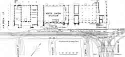 |
Plan of Causeway Street Station adjacent to the North Union Station 1913 y. |
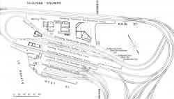 |
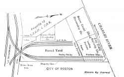
Plan of track layout at Sullivan Square Station 1913 y. |
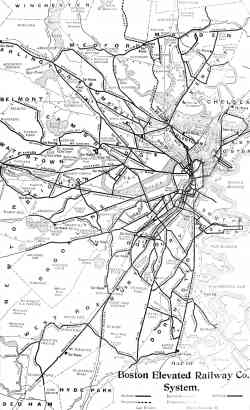 |
Map of the Boston Elevated Railway Co. system 1908 y. |
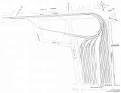 |
New Sullivan Square elevated storage yard of the Boston Elevated Railway Noiembrie 1907 y. |
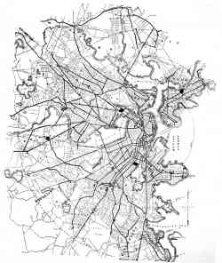 |
Map of the Boston, showing lines of the West End Street Railway Co. 1895 y. |
Temă întunecoasă
Utilizarea fotografiilor sau a altor materiale de pe acest site fără acordul autorilor este interzisă.