


 Linnade elektritransport
Maps and Plans
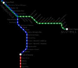
Minneapolis–St. Paul
 |
Author: Senori 25 juuni 2014 a. |
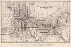 |
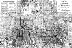
Map Showing the Lines of the Twin City Rapid Transit Co., Minneapolis and St. Paul, 1913 1913 a. |
 |
Chicago — Maps and Plans Chicago 1906 a. |
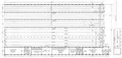 |
Plan of Snelling Avenue Car House 1904 a. |
 |
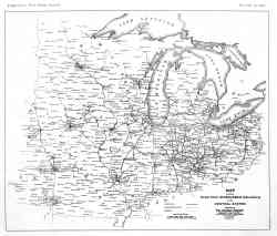
Map of Minneapolis, St. Paul and vicinity 1894 a. |
Tume teema
Sellel saidil ilmunud fotode ja muude materjalide kasutamine on lubatud ainult nende autorite loaga.