 Transphoto
Photos are published as is and do not have purpose to promote any political and/or ideological position.
All materials are provided by users and do not reflect the opinion of the site administration team.

<
>

 Transphoto Transphoto
|
|
Photos are published as is and do not have purpose to promote any political and/or ideological position. All materials are provided by users and do not reflect the opinion of the site administration team. 
<
>

|
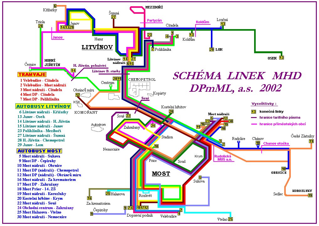
 Plzeň Date: about 2002
StatisticsVotingPermanent link to this photo |
Your commentPlease do not discuss political topics or you will be banned for at least one month!
You need to log in to write comments. |
| Index Forums Terms & Conditions Editorial Team Mobile version Dark Theme © TransPhoto administration and authors of photos, 2002—2025
Using any images from this website without authors' permission is prohibited. |