 TransPhoto
Photos are published as is and do not have purpose to promote any political and/or ideological position.
All materials are provided by users and do not reflect the opinion of the site administration team.

<
>

 TransPhoto TransPhoto
|
|
Photos are published as is and do not have purpose to promote any political and/or ideological position. All materials are provided by users and do not reflect the opinion of the site administration team. 
<
>

|
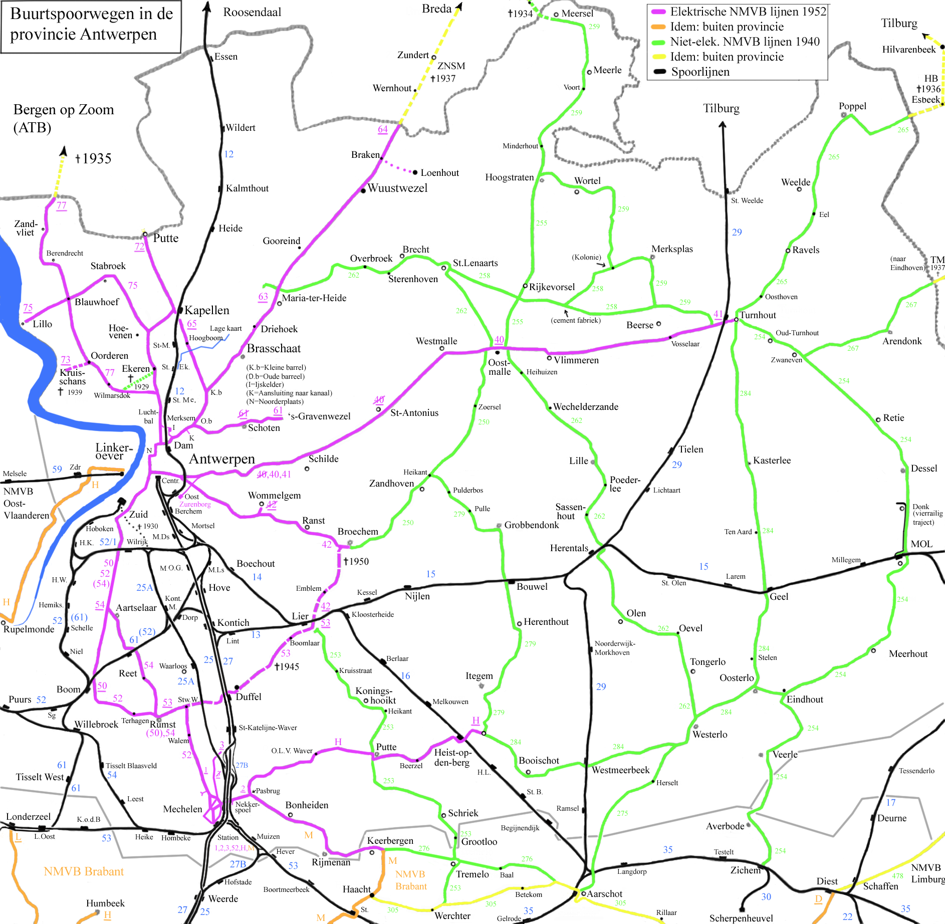
 Antverpy Dátum: 1952
ŠtatistikaHodnotenieTrvalý odkaz na fotografiu |
Your commentPlease do not discuss political topics or you will be banned for at least one month!
Nie ste rihlásený.Komentovať môžu iba prihlásené používatelia. |
| Titulná strana Fórum Podmienky používania Redakcia Mobile version Dark Theme © Administrácia TransPhoto a autori materiálov, 2002—2025
Použitie fotografií a iných materiálov zverejnených na týchto stránkach je povolené len so súhlasom ich autorov. |